
Oriole Beach & Tiger Point Seawall Repair
Plan Oriole Beach and Tiger Point seawall work around Santa Rosa Sound, habitat and access. Check the county permit route and current ramp restrictions.
Describe your project on this page ↓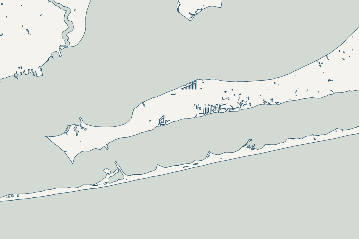
Get to know your waterfront
The soundside communities east of Gulf Breeze need their own access and drainage questions. Oriole Beach is represented in the water-quality record by a Santa Rosa Sound seagrass station, and the county’s ramp improvement project combines shoreline stabilization with stormwater work. Confirm the parcel’s municipality and waterway before treating a Gulf Breeze postal address as city jurisdiction.
Oriole Beach Santa Rosa Sound seagrass monitoring station · Oriole Beach Boat Ramp · Oriole Beach ramp closure and improvement notice, August 2026
Confirm access before assuming the local ramp is available
The county’s August 2026 notice says Oriole Beach Boat Ramp closed for improvements on August 24, with a weather-dependent reopening target of February 20, 2027. Check the current notice before arranging equipment access. A proposed reopening date is not a guaranteed availability date, and reopening for recreation would not itself authorize construction staging. Oriole Beach ramp closure and improvement notice, August 2026
Use the ramp project to ask better questions
The announced scope includes shoreline stabilization, stormwater management and parking work. It shows why the water edge and runoff arriving from land belong in one discussion. The notice also identifies a local road detour. Ask the contractor to confirm the actual delivery route and unloading point, especially if the work depends on a nearby public facility. Oriole Beach ramp closure and improvement notice, August 2026 Oriole Beach ramp closure and improvement notice, August 2026
- Locate the private frontage and the proposed mobilization point.
- Confirm access permission and current closures.
- Mark drains, utilities and landscaping in the work corridor.
- Specify restoration of every disturbed surface.
Check the shallow-water habitat at your lot
A Water Quality Portal station is specifically named for Oriole Beach seagrass in Santa Rosa Sound. That is evidence of local monitoring, not proof of vegetation at every wall. Ask whether the design needs a current habitat survey and how pilings, turbidity controls or vessel access will avoid unnecessary disturbance. Oriole Beach Santa Rosa Sound seagrass monitoring station
For a canal-connected property, give the designer the actual canal dimensions and dock arrangement. For sound frontage, describe the open-water exposure and neighboring shoreline. Do not assume two properties with similar wall lengths can use the same access or construction method.
Separate postal identity from the permit authority
Use Santa Rosa GoMaps and the property record to establish the parcel. The county coastal-construction guidance lists zoning and building approval for seawalls and related structures. Where waterfront work crosses existing public access, the county also requires that access to be preserved. Establish the easement facts on the survey rather than assuming either a public right or a private exclusion. Santa Rosa County GoMaps Santa Rosa County coastal construction Santa Rosa County coastal construction
Prepare the existing permit record and a clear symptom description before requesting a seawall assessment. A thoughtful proposal will explain whether the concern is structural movement, soil loss, drainage or a combination, then price the relevant scope.
What could the work cost?
Have the contractor name the mobilization point and explain any alternative if access changes. Compare habitat investigation, wall work, dock handling and restoration separately from transport.
Published starting ranges, not quotes. Pensacola-area figures cover replacement and foam injection; other figures retain their Florida source area.
Compare quotes and plan a budget →Find the relevant permits and records
| Starting point | What to resolve | Prepare and look up |
|---|---|---|
Santa Rosa County Development Services | Coastal-construction zoning and building review. | Provide the parcel survey, mean-high-water information, structure layout and access plan. |
County planning and environmental staff | Check shoreline protection, habitat and any existing public access. | Identify vegetation, waterbody and easements on the proposed work plan. |
USACE Pensacola Permits Section | Check the federal route for the in-water portion. | Include wall, dock, pilings and any sediment movement in the same description. |
Prepare the details that change this job
These local questions help an assessor or contractor give you a useful answer.
Check the current ramp notice
Use the county’s dated update and confirm availability directly before scheduling. Do not rely on a generic map listing that still shows a ramp.
Oriole Beach ramp closure and improvement notice, August 2026
Prepare a waterbody-specific brief
Identify canal or sound frontage, existing docks, visible vegetation and the proposed equipment route.
Confirm jurisdiction and easements
Use the county maps with the survey, then ask the reviewer which approvals and access protections apply.
Santa Rosa County GoMaps · Santa Rosa County coastal construction
Plan your Oriole Beach & Tiger Point project
Describe the shoreline location and the concern you want assessed. Keep the survey and photographs available.
Clear answers for your waterfront. A practical next step for your seawall.
Oriole Beach & Tiger Point project questions
Is Oriole Beach Boat Ramp available for a seawall project now?
The county announced a closure beginning August 24, 2026 and a projected February 2027 reopening, subject to weather. Verify the current status and obtain any construction-use permission separately. A public ramp listing alone is not enough.
Oriole Beach ramp closure and improvement notice, August 2026
Does a Gulf Breeze mailing address mean I file with the city?
No postal address should substitute for checking the municipal boundary. Use the city and county maps to establish the actual parcel, then follow the applicable local review route.
Keep planning
Nearby waterfront guides
Show sourcesHide sources
- Oriole Beach Santa Rosa Sound seagrass monitoring stationSource reviewed 2026-10-27 · official indexed text
- Oriole Beach Boat RampSource reviewed 2026-10-27 · official indexed text
- Oriole Beach ramp closure and improvement notice, August 2026Source reviewed 2026-10-27 · official indexed text
- Santa Rosa County GoMapsSource reviewed 2026-10-27 · official indexed text
- Santa Rosa County coastal constructionSource reviewed 2026-10-27 · official indexed text
- Jacksonville District regulatory office locationsSource reviewed 2026-10-27 · official indexed text
- Gulf Breeze city mapsSource reviewed 2026-10-27 · official indexed text