
Garcon Point & East Bay Seawall Repair Planning
Plan Garcon Point and East Bay shoreline repairs with wetland, protection-area and access checks. Compare wall repair with feasible natural alternatives.
Describe your project on this page ↓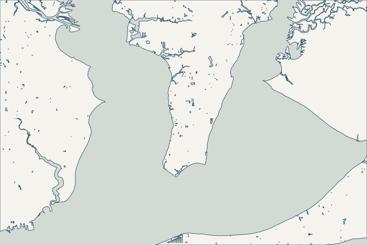
Get to know your waterfront
Garcon Point is a peninsula with several bay exposures and important wetland areas. FWC places its wildlife management area between Escambia and Blackwater bays; the wider peninsula also borders Pensacola and East bays in the water-management district’s planning map. Name the actual shore and check the parcel rather than treating the peninsula as one uniform construction setting.
Garcon Point Wildlife Management Area · Garcon Point land acquisition plan and map
Locate the private parcel beside the protected landscape
Start by distinguishing the parcel, conservation land and any recorded easement. FWC describes the Garcon Point Wildlife Management Area as more than 3,000 acres managed with the Northwest Florida Water Management District. That footprint is not the same thing as the entire Garcon Point peninsula or every address carrying its name. Garcon Point Wildlife Management Area
Do not clear the shoreline to make inspection easier
The WMA protects wet prairies, salt marshes and other natural communities. FWC identifies the wetlands’ role in filtering stormwater and protecting bay water quality. Ask for an appropriate habitat and boundary review before changing vegetation or using a wet area as an equipment route. Regional habitat information cannot determine the wetland line on a private survey. Garcon Point Wildlife Management Area Garcon Point Wildlife Management Area
If the wall can be inspected from firm ground, provide those photographs first. Where access is difficult, ask the assessor how to inspect safely without unnecessary disturbance. A contractor’s preferred route is a proposal to review, not an existing right to cross another property or conservation area.
The relevant overlay is a parcel question
Santa Rosa GoMaps includes a Garcon Point Protection Area layer and specific Garcon Point land-use categories. Use them to begin the planning conversation, then ask staff to confirm how the parcel and complete scope are affected. A map label alone neither prohibits every repair nor authorizes a new structure. Santa Rosa County GoMaps
- Show the existing wall and the proposed finished footprint.
- Identify marsh, trees, drainage and submerged vegetation for review.
- Mark access, staging and temporary disturbance separately.
- Keep recorded easements and neighboring structures visible.
Compare wall repair with options that fit the space
A shoreline with room for vegetation raises different possibilities from a confined edge beside a building. Ask a qualified designer whether a natural or hybrid approach is feasible and what would rule it out. The living shoreline guide explains the questions to ask without promising that one system suits every bay exposure.
For existing walls, establish the cause of movement or soil loss before choosing the repair. Ask how drainage will work after construction and how the proposed end connections affect the adjoining shoreline. Use a common scope when comparing bids, including the full access and restoration plan.
The county describes protection provisions for Escambia, Blackwater and East bays and their bayous. These are a prompt for a surveyed boundary and permit review, not a universal construction setback or a private-wall height standard. Santa Rosa County coastal construction
What could the work cost?
Budget habitat or boundary investigation, access and restoration before comparing wall unit rates. A natural or hybrid alternative should include establishment and maintenance responsibilities as well as installation.
Published starting ranges, not quotes. Pensacola-area figures cover replacement and foam injection; other figures retain their Florida source area.
Compare quotes and plan a budget →Find the relevant permits and records
| Starting point | What to resolve | Prepare and look up |
|---|---|---|
Santa Rosa County Development Services | Coastal-construction zoning and building review. | Provide the parcel survey, mean-high-water information, structure layout and access plan. |
County planning and environmental staff | Check shoreline protection, habitat and any existing public access. | Identify vegetation, waterbody and easements on the proposed work plan. |
USACE Pensacola Permits Section | Check the federal route for the in-water portion. | Include wall, dock, pilings and any sediment movement in the same description. |
Build a useful project brief
Collect the local records and site details that affect the proposed work.
Locate the overlays and easements
Compare county planning layers with the survey and recorded documents. Ask staff to confirm the applicable area before clearing or staging.
Map the temporary footprint
Keep equipment routes and storage outside unapproved areas. Ask how wetland and shoreline habitat will be protected during the work.
Ask for an options explanation
Request the reasons for repairing, replacing or choosing a natural or hybrid system at this particular exposure and available width.
Discuss your Garcon Point & East Bay waterfront
Start with the location, the concern and the records already available for the property.
Clear answers for your waterfront. A practical next step for your seawall.
Garcon Point & East Bay project questions
Is every Garcon Point property inside the wildlife management area?
No conclusion about an individual parcel follows from the regional name. FWC identifies a specific WMA footprint, while county mapping identifies a separate protection-area layer. Check the survey, ownership record and applicable maps together.
Garcon Point Wildlife Management Area · Santa Rosa County GoMaps
Can I clear marsh plants before getting a wall estimate?
First establish the habitat, property boundary and applicable approvals. The regional wetlands have documented water-quality functions. An assessor can advise how to inspect the existing edge without treating clearing as an automatic first step.
Keep planning
Nearby waterfront guides
Gulf Breeze, Pace & Floridatown, Milton & Bagdad, Navarre & Holley
Show sourcesHide sources
- Garcon Point Wildlife Management AreaSource reviewed 2026-10-27 · official indexed text
- Garcon Point land acquisition plan and mapSource reviewed 2026-10-27 · official indexed text
- Santa Rosa County GoMapsSource reviewed 2026-10-27 · official indexed text
- Santa Rosa County coastal constructionSource reviewed 2026-10-27 · official indexed text
- Jacksonville District regulatory office locationsSource reviewed 2026-10-27 · official indexed text